
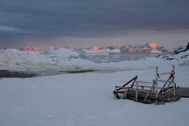
The discovery of a previously unmapped island in the northwestern Weddell Sea has caught attention because charts labeled the spot a “danger zone” for navigation, yet the rocky landform appears to have been sitting there for ages unnoticed until researchers aboard the German icebreaker Polarstern identified and mapped it during an expedition studying sea ice decline.
Maps are supposed to be reliable, so finding a small island that escaped notice raises some eyebrow-raising questions about how maritime charts are compiled and updated, especially in remote polar regions. The newly mapped feature measures roughly 426 feet long by 164 feet wide and rises about 52 feet above the waterline, which makes it small but not invisible. Harsh weather and the tricky conditions of the Weddell Sea help explain why an area might be labeled with caution, but that label also suggests prior observations that never translated into a precise charted coastline. The expedition took shelter on nearby Joinville Island and, while waiting out the weather, scientists noticed what first looked like a dirty iceberg and then confirmed it as rock.
Researchers recently discovered that a long-misidentified Antarctic “danger zone” was actually an island — and have now mapped it for the first time.
The discovery was announced in an April press release from the Alfred Wegener Institute (AWI), a German polar research center based in Bremerhaven.
The island is located in the northwestern Weddell Sea, and was spotted during an expedition aboard the AWI’s icebreaker Polarstern.
Simon Dreutter, a bathymetry data engineer at the Alfred Wegener Institute, described how the crew followed curiosity rather than routine and altered course to investigate what the nautical chart called an area with “unexplored dangers to navigation.” He looked out and saw an object that at first resembled an iceberg but, on closer inspection, turned out to be solid rock. That moment of attention turned a vague chart annotation into a mappable island, showing how field observation still matters even in an era of satellite imagery and digital charts.
The island’s size and shape—cucumber-like in the reporting—mean it could be spotted from a distance under clear conditions, so the question becomes why aircraft, satellite missions, or passing ships did not flag it earlier. The Weddell Sea is notoriously unstable and often shrouded in heavy weather, which complicates aerial and satellite detection. Sea ice, bergs, and seasonal changes can all mask small, permanent features, and notices on nautical charts sometimes reflect sparse historical reports rather than definitive surveys.
Researchers were originally studying the rapid decline of sea ice in the region when harsh weather forced them to pause.
They took shelter on Joinville Island to avoid the wind and waves — where they later spotted the previously unidentified island.
“On our route, the nautical chart showed an area with unexplored dangers to navigation, but it wasn’t clear what it was or where the information came from,” Simon Dreutter, a bathymetry data engineer at AWI, said in a statement.
After examining the available coastline records, Dreutter looked out the window and saw “an ‘iceberg’ that looked kind of dirty.”
He recalled that “on closer inspection, we realized that it was probably rock.”
“We then changed course and headed in that direction, and it became increasingly clear that we had an island in front of us!”
Charts labeled “Danger Zone” can stem from historical reports of shoals, wrecks, or uncertain soundings that were never revisited for confirmation. That kind of conservative notation protects mariners but can leave odd gaps in our geographic record. The fact that this patch of rock now has precise dimensions and bathymetry means hydrographic offices can update their datasets and reduce uncertainty for future navigation in that sector.
There is an element of surprise here, yes, but also a reminder about exploration: remote parts of the planet remain under-surveyed, especially where the environment itself resists survey work. Modern mapping uses a mix of remote sensing and on-the-ground verification, and this incident shows why both matter. A direct sighting from a research vessel settled the question and turned an ambiguous chart warning into a concrete geographic feature.
For those intrigued by odd cartographic footnotes, the new island is a neat example of how a simple change of course and some close observation can turn uncertainty into knowledge. It also gives hydrographers a chance to refine charts and remove a “danger” annotation once a proper survey is completed. The discovery is small in scale but telling in implication: the world still holds corners that yield surprises to patient, observant explorers.



Add comment